If you're a fan of the TV series Shetland, why not follow in the footsteps of some of your favourite characters with this walk around the Lerwick locations that feature in the show?

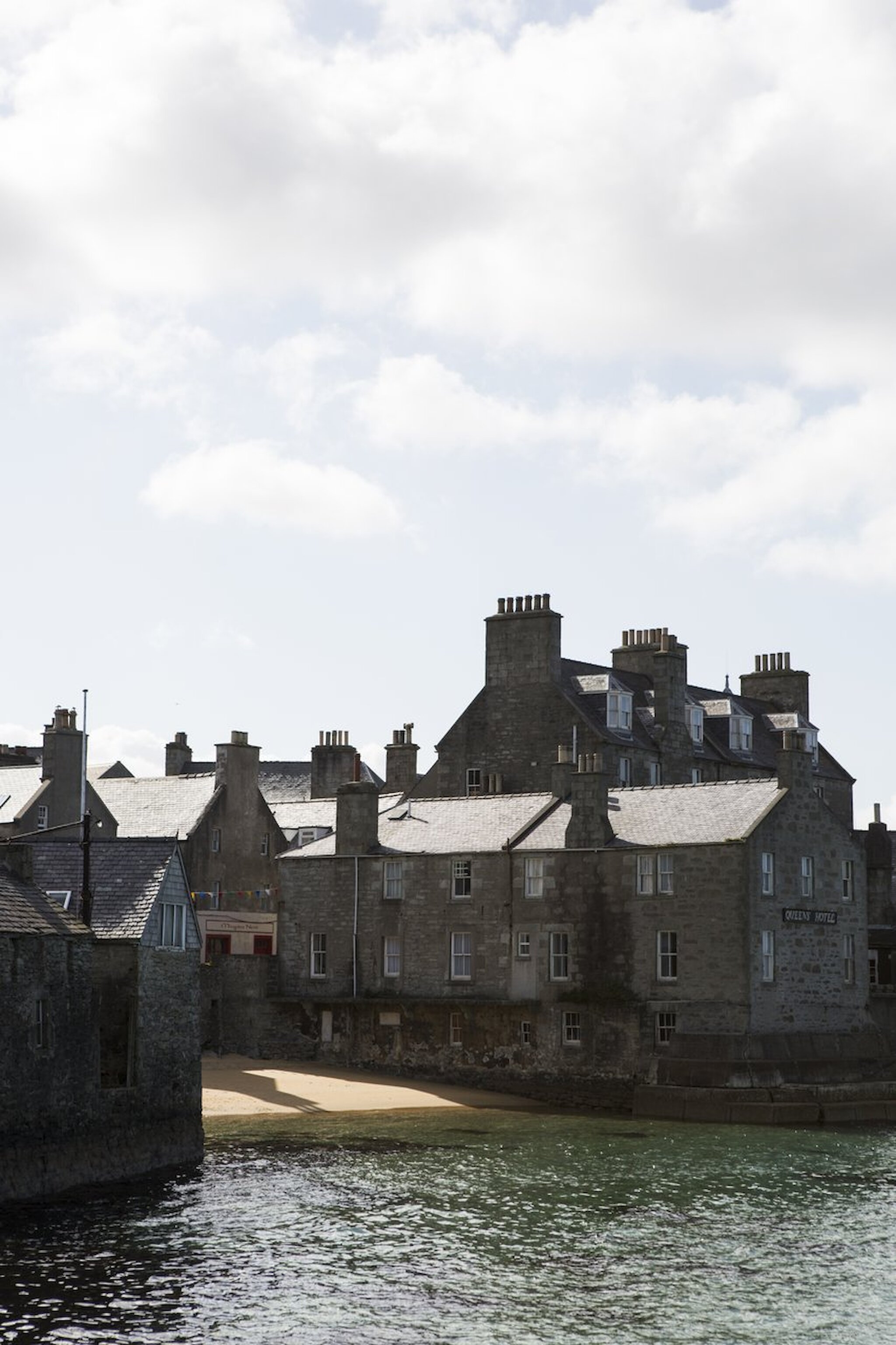
Market Cross and Commercial Street

Lerwick is Shetland’s capital and home to about 7,500 people, representing nearly one-third of Shetland’s population. It’s situated on the east coast of the Mainland, overlooking the island of Bressay to the east.

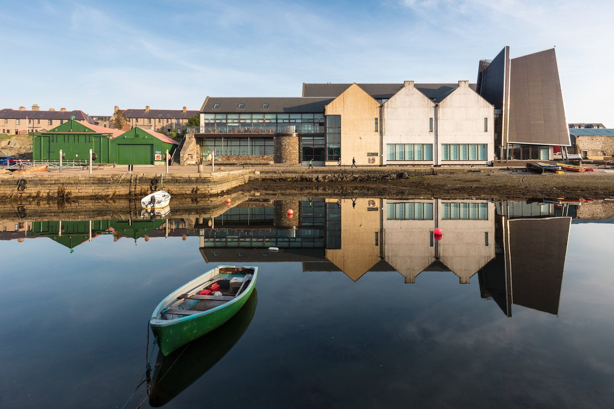
This is where we begin the tour. Starting at the Market Cross on Lerwick’s Commercial Street, we land in the first of many filming locations. Commercial Street has featured in every series of Shetland, with the picturesque waterfront playing host to several dramatic scenes – usually at night, when all is still and quiet, adding an extra layer of drama. While you’re here, pop your head up Mounthooly Street and see the Lounge Bar – but more about that later!

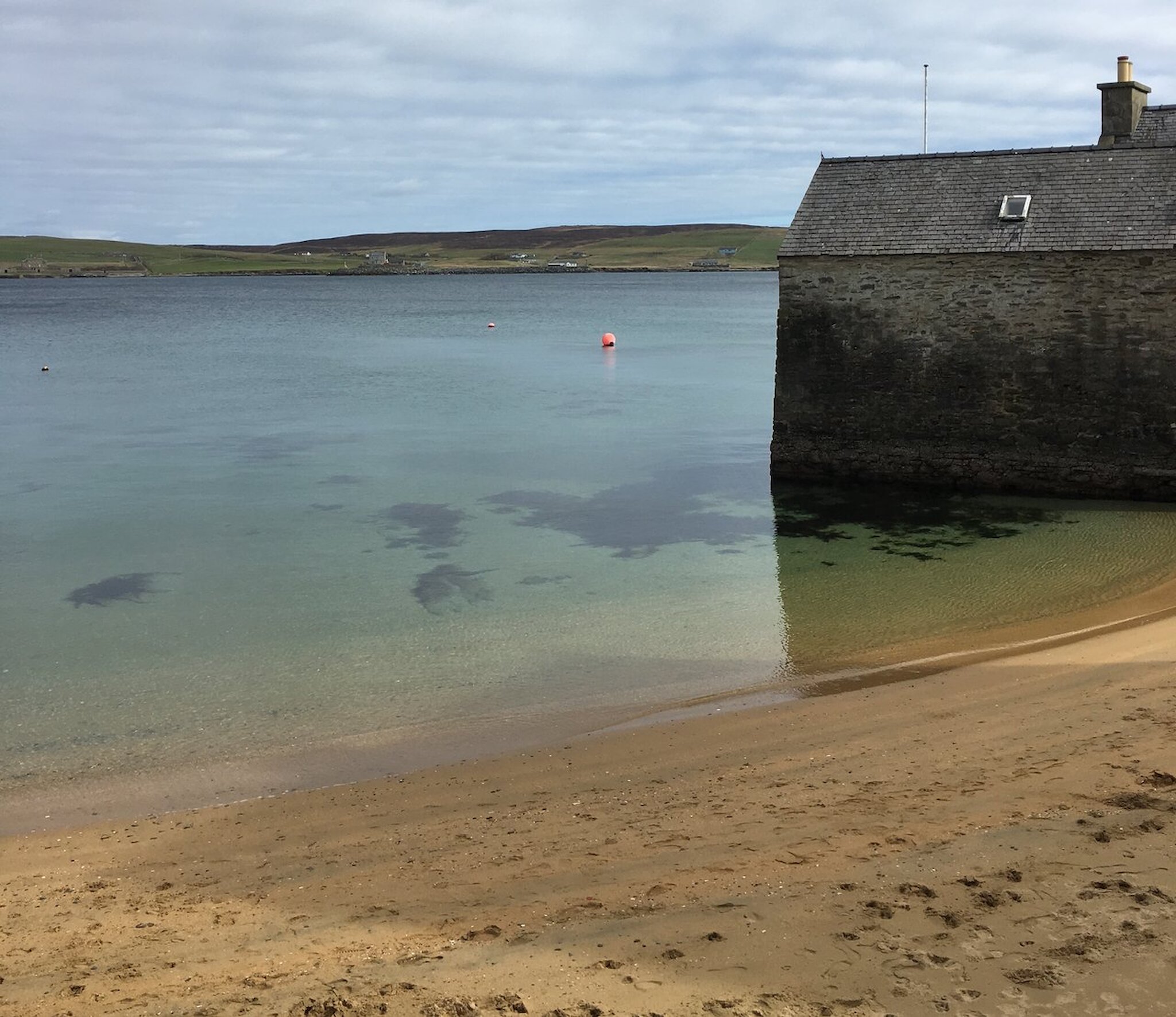
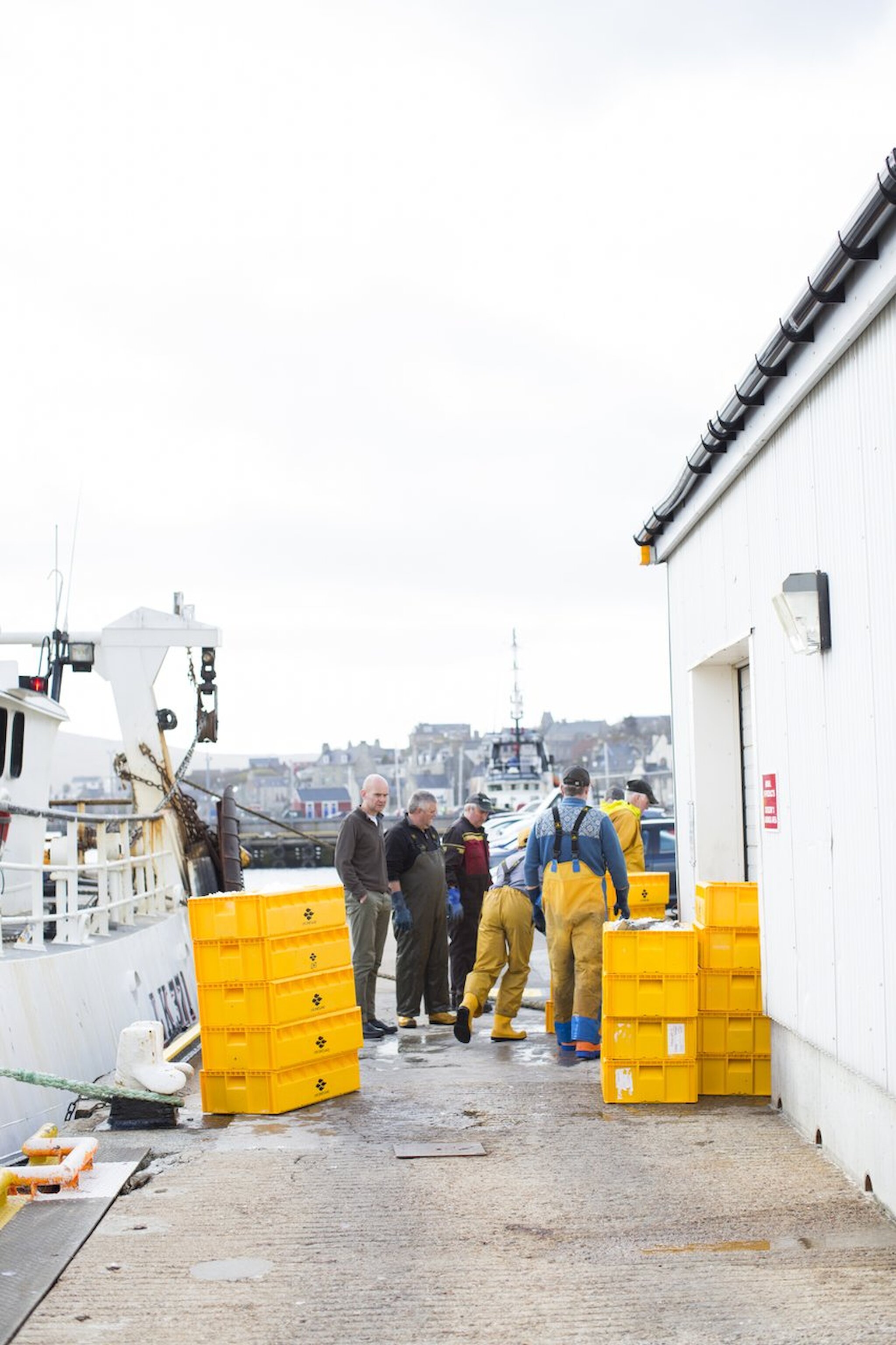
Lerwick grew around a booming herring fishery, both at home and abroad. Bressay Sound, to the east, offers shelter from the winds and a safe and sheltered anchorage for ships. Without Bressay, there really would never have been a town here. Bressay provides the perfect buffer from the ravages of the North Sea.

From the 1500s, Dutch fishermen, who went to sea in sailing ships called busses, began venturing north into Shetland waters searching for herring. We can think of their ships as ‘factory ships’ – herring were caught, gutted and salted onboard before being shipped back to Holland for further processing and sale. There was nothing in the area at this time – no houses, buildings, or any sign of the town that we see today.

By the early 17th-century, entrepreneurial islanders were setting up shop on the shores of Bressay Sound – or Buishaven as it was known to the Dutch – bringing their products to the market. At this time, we start to see the first signs of Lerwick and the growth of a town. By 1838, Lerwick had overtaken Scalloway as the main administrative centre in the islands.

We will now walk towards Victoria Pier – named after Queen Victoria and built in 1886 – following the Esplanade south towards the peach-coloured building with the bell tower on top [Tolbooth]. This stretch of the waterfront is instantly recognisable from every season of the BBC show. Lerwick’s a busy harbour, and you’ll pass the Small Boat Harbour where visiting yachts moor, as well as our lifeboat, The Michael & Jane Vernon – one of two keeping Shetland’s waters safe.

Bain’s Beach

Carry on along South Commercial Street until you arrive at the unexpected and picturesque Bain’s Beach. This beach represents the only remaining part of the original foreshore – the remainder has been reclaimed for building the town. Lerwick, as it grew, swallowed up the entire shoreline as merchants scrambled to stake their claim to cash in on the growing trade with Dutch fishermen.

Bain’s Beach features throughout the show. Next door to Jimmy’s house, this is where he’s often seen enjoying a dram on the beach, more often than not, offering step-daughter Cassie some fatherly advice.

The Lodberrie

From here, step next door and discover the house everyone visiting Shetland is keen to see, the Lodberrie – better known as the home of DI Jimmy Perez and probably the most photographed place in Shetland. This building, dating to about 1772, was one of 21 lodberries lining the Lerwick foreshore by 1814. The word lodberry comes from the Old Norse hladberg and means ’a landing place, or a landing stone’ and describes the type of use these utilitarian – yet beautiful – buildings were designed for. Ultimately these were trading booths built with their foundations in the sea. Winches unloaded boats that berthed alongside, legal goods were sold from street-side shops, and the illegal goods were taken into a maze of tunnels running underneath the street – and feet – of the customs men.

It’s well known that Lerwick grew under an umbrella of illicit trade in gin, brandy and tobacco and that smugglers founded the town. As well as all the legal business that took place between Shetlanders and the Dutch fishermen, there was a high proportion that was, of course, illegal. Evidence of this can be found under Commercial Street, from Harry’s Department Store at the north end to Leog at the south end; there are a series of underground tunnels. Many of them are still there, some have collapsed, and others were filled in during building works. Illegal goods – gin, brandy and tobacco – were unloaded from the ships and squirrelled away underground to avoid customs. Duty had to be paid on goods such as tobacco, spirits, tea, and timber, but often, boats would fail to declare their cargoes, or they would attribute them to non-taxable goods to avoid excise. There is no doubt that trade – legal or otherwise – forms the very foundations of the town, and, ironically, the home of crimefighter Perez would have been one of the main points of entry for black market goods!

The buildings lining South Commercial Street are built with their foundations in the sea, and it has been suggested that Shetland resembles the Venice of the North. The reason for this unique building style is quite simple.

Lerwick was not a natural choice for a town, and Scalloway (six miles to the west) was the main town in Shetland until the 1830s. Scalloway was an obvious choice; it sits at the foot of a fertile limestone valley, has a wide, natural harbour, is close to rich fishing grounds, and there’s a good supply of fresh drinking water. Lerwick didn’t share these qualities. The land where the town now stands was only ever used for grazing animals from the neighbouring township of Sound. The land – or cliffs – leading from the foreshore were steep and unforgiving, and there was a limited freshwater supply. It wasn’t an easy place to build a town, and for the merchants, building into the sea and securing a place to unload trade – legal or otherwise – was paramount.

From here, you can either continue around The Knab Coastal Walk (pick up a leaflet in the Tourist Office), which has been featured in the show. If time is of the essence and you’re keen to keep bagging locations, retrace your steps back along the Esplanade towards the Bressay Ferry Terminal.

Bressay Ferry Terminal

Shetland is made up of over 100 islands; 16 of these are inhabited, including Bressay. Home to around 360 people, the island is linked by the Bressay Ferry, one of nine inter-island ferries connecting Shetland’s islands.

You may choose to take the five-minute ferry across to the island. Booking is not necessary for foot passengers, and the ferry departs every hour. If you’re planning to take a car across you may wish to book a space here. Bressay featured in series one of Shetland, where the murders of Mima Wilson and Hattie, a young archaeologist on an archaeological dig, shook the community. Perez was filmed doing a lot of head-scratching as he made his way back and forth across Bressay Sound on the ferry. It’s little wonder really, the views from the ferry are inspiring and give a sense of the town and how it has grown and developed over the years.

From the ferry terminal in Lerwick, good views are afforded across the harbour to the impressive Gardie House. Built in 1724, Gardie House was featured in series four as the backdrop to a garden party where secrets were unearthed, and the plot thickened as the murder of Sally McColl was investigated.

Today the house is the private residence of the Scott family – Shetland’s former MSP, Tavish Scott, and John Scott, former Lord Lieutenant of Shetland.

Old Lerwick Fish Market

A short stroll north along the pier is the former Lerwick fish Market and Malakoff, another location used in series one.

Lerwick remains a bustling harbour, and fishing remains one of the mainstay industries in Shetland, with a new fish market at Mair’s Pier opening in 2020 to serve the town.

It often surprises visitors – and locals – to learn that there are more fish landed in Shetland than in the whole of England and Wales combined and that Shetland hosts the second largest port in the UK, after Peterhead with Shetland boats responsible for one-quarter of Scottish landings.

Fort Chip Shop, anyone?

Assuming you set off early and are feeling hungry after all that talk of fish, we’re going to head back towards Commercial Street, rejoining the Street at the north end underneath Fort Charlotte.

One of the first places you come to is the Fort Chip Shop – another location used in series one – serving some of the best fish and chips, wrapped up in paper, ready to be enjoyed outside. I recommend taking your ‘fish supper’ up Charlotte Street and into the Fort, via the south entrance. The Fort was completed in 1781 and has never fired a shot in anger! From here, after you’ve enjoyed your fish and chips, you can enjoy some panoramic views across Lerwick and out towards Bressay.

Court Buildings and Police Station

From here, head out the west door of the Fort, passing the Garrison Theatre and on towards the next recognisable landmark – the police station and County (Court) Buildings. Both of these have featured extensively throughout Shetland. We see plenty of shots of Perez and co in and around the police station and court – in fact, the door to the court was specially painted for filming! The County Buildings, hosting a weekly court, were built in 1875, and the police station next door is where the local police force is based. Despite what the Shetland show suggests, crime in Shetland is very low and serious crimes are rare.

Town Hall

Across the road is Lerwick Town Hall – another recognisable landmark. We are now on the Hillhead, the highest part of the old town of Lerwick. The town hall features throughout the show, most prominently in the first series where Perez rushes to track down a suspect before the Up-Helly-Aa festival begins.

Up-Helly-Aa is beautifully portrayed in the show as we see torch-bearers muster at the town hall before the torchlit procession begins. Up-Helly-Aa is an annual Viking-inspired fire festival that, in Lerwick, happens on the last Tuesday of January. With a procession of over 1,000 men bearing burning torches, following the Guizer Jarl (chief Viking) through the streets of the town. The atmosphere on Up-Helly-Aa night is electric! Culminating in the burning of a replica Viking longship, the drama and suspense are perfectly portrayed in the show, and from here at the town hall, you can imagine standing here on Up-Helly-Aa night too – or perhaps that’s why you’re here?

The Town Hall itself was built in 1883, with critics at the time saying that it faced the wrong direction as it stood with its back to the town. Today it stands proudly looking towards the new town of Lerwick to the west.

Lerwick Lanes

From the town hall, all along the length of the Hillhead are a series of narrow lanes leading back down to Commercial Street. This area is an excellent place to explore to pick out the various filming locations used within ‘The Lanes’ in Shetland. You’ll recognise the Lounge Bar on Mounthooly Street (remember, you stuck your head up the lane at the start of the tour) where you can enjoy a pint, and John Jamieson’s Closs, close to the Town Hall. Series six sees locations throughout Hangcliff Lane, Law Lane, and Bank Lane used.

At one time, the lanes were associated with squalor and poverty as the town haphazardly grew around the harbour. Today they are filled with desirable homes and are a quiet retreat away from the hustle and bustle of Commercial Street.

King Harald Street

Once you have explored the lanes and made your way back to the Hillhead, head towards King Harald Street via King Erik Street. This area has been used for various seasons of the show, including series one and six. The playpark is the burning ground for the annual Up-Helly-Aa festival, where the longship is burned while spectators throng the streets, hoping to get a view of the iconic procession.

Shetland Museum

Head to the foot of King Harald Street (turning right at the bottom of King Erik Street) and cross towards the Lerwick Legion. From here, walk down Freefield Road (beside the Legion), through the builder’s yard towards Hay’s Dock and the Shetland Museum.

Shetland Museum has been used in several seasons, including the sixth. The museum was opened in 2007 and holds fascinating collections of artefacts documenting 6,000 years of human life in Shetland. For any visitor, the museum is one of the best places to get a sense of the island’s culture and history. Admission is free, and the museum is open all year round. Be sure to allow several hours to enjoy the museum and its collections.

NorthLink Ferry Terminal

If you still have a spring in your step, head north out of town towards the NorthLink Ferry Terminal, two miles from the town centre, along Holmsgarth Road. This is perhaps a place you’ve seen already as it’s the only ferry port into Shetland. This is where the overnight ferry from Aberdeen docks every morning and departs each evening. The terminal has featured in the show, most notably in series three, when a young man disappears on the ferry between Aberdeen and Shetland.

This walk will vary in time depending on how much time you spend at each location – a trip to the museum may take a whole afternoon! Throughout Lerwick, visitors will get a sense of the place and much of the inspiration behind the show – as well as recognising many of the buildings and streets along the way. It’s no exaggeration to say that much of the town has been shown throughout the various seasons of Shetland; it would be impossible to include every location in this trail alone.

Discover more locations from TV's Shetland